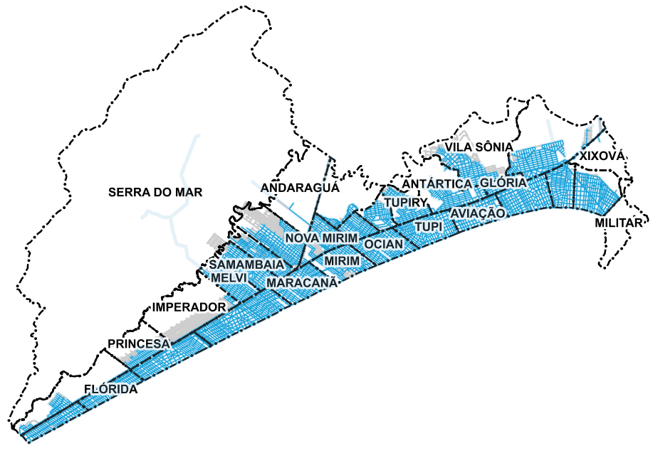
Rede de Água Operando
Os dados aqui relacionados apresentam as informações disponibilizadas pela SABESP (Companhia de Saneamento Básico do Estado de São Paulo) da rede de água operando no município, como ela é encontrada e implantada na cidade. A rede é exibida através dos logradouros oficiais e não oficiais, organizados por trecho.
Simple
Identification info
- Date (Creation)
- 2020-12-31
- Status
- Completed
Custodian
- Spatial representation type
- Vector
- Topic category
-
- Supply
- Infrastructure and Development
- Sanitation
N
S
E
W
))
- Language
- Portuguese
- Character encoding
- UTF8
Distribution Information
- OnLine resource
-
MapaCidadeRedeAgua
MapaCidadeRedeAgua
- OnLine resource
-
PraiaGrandeProducao:MapaCidadeRedeAgua
MapaCidadeRedeAgua
- OnLine resource
- Conceitos e Notas
Reference System Information
- Reference system identifier
- EPSG / 31983
mdb:MD_Metadata
- Metadata identifier
- urn:uuid / eaf8a177-e522-47cd-afe6-6760d50feed2
- Language
- Portuguese
- Character encoding
- UTF8
Originator
SEPLAN - SECRETARIA DE PLANEJAMENTO
Avenida Presidente Kennedy, nº 9000, Mirim - 1º Andar
Praia Grande
11704-900
Type of resource
- Resource scope
- Dataset
- Metadata linkage
- https://dadosabertos.praiagrande.sp.gov.br:/geonetwork/srv/api/records/eaf8a177-e522-47cd-afe6-6760d50feed2
- Date info (Revision)
- 2023-05-05T09:45:23
- Date info (Creation)
- 2020-07-17
- Title
- ISO 19115-3:2014
- Title
- Perfil MGB 2.0
Overviews

Spatial extent
N
S
E
W
))
Provided by

Associated resources
Not available
 Portal de Dados Abertos