 Portal de Dados Abertos
Sistema viário
Sistema viário criado a partir de restituição de ortofoto do ano de 2018, contém layer de delimitação de guias, sarjetas, acostamento, ferrovia, rodovia entre outros.
Simple
Identification info
- Date (Creation)
- 2025-03-26
- Status
- Completed
Originator
SEPLAN - SECRETARIA DE PLANEJAMENTO
Avenida Presidente Kennedy, nº 9000, Mirim - 1º Andar
Praia Grande
11704-900
- Spatial representation type
- Vector
- Topic category
-
- Urbanism
- Planning cadastre
- Transportation
N
S
E
W
))
- Keywords
-
- sistema viário
- Language
- Portuguese
- Character encoding
- UTF8
Distribution Information
- OnLine resource
-
dbSistema_Viario
dbSistema_Viario
- OnLine resource
-
PraiaGrandeTotal:dbSistema_Viario
dbSistema_Viario
Reference System Information
- Reference system identifier
- EPSG / 31983
mdb:MD_Metadata
- Metadata identifier
- urn:uuid / 61373e81-26ba-4c30-abd1-0357927628c0
- Language
- Portuguese
- Character encoding
- UTF8
Originator
SEPLAN - SECRETARIA DE PLANEJAMENTO
Avenida Presidente Kennedy, nº 9000, Mirim - 1º Andar
Praia Grande
11704-900
Type of resource
- Resource scope
- Dataset
- Metadata linkage
- https://dadosabertos.praiagrande.sp.gov.br:/geonetwork/srv/api/records/61373e81-26ba-4c30-abd1-0357927628c0
- Date info (Revision)
- 2025-03-26T15:46:44
- Date info (Creation)
- 2020-07-17
- Title
- ISO 19115-3:2014
- Title
- Perfil MGB 2.0
Overviews
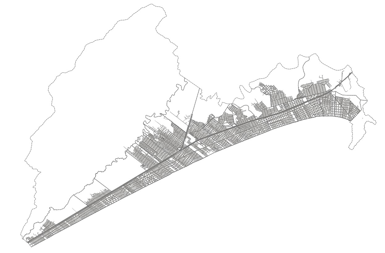
Sistema viário
Spatial extent
N
S
E
W
Provided by

Associated resources
Not available